Day 20: Land ho!
After more than 19 days at sea we spotted Land, twice. First, the to Djibouti belonging Seba islands, appeared in the haze on our port side. A little later then the island of Mayyun on the starboard side. Mayyun belongs to Yemen and lies just 2 miles off the coast. Joshua dearly liked to go for a visit and wasn’t comprehending at all, why the hell we were continuing sailing. Shootings are still something romantic in his childhood mind, no matter about our explanations. Not just because of the cival war, anchoring is not possible at Mayyun, it was restricted millitary area already before. But now Houthi rebells were lying sea mines off several yeminiti harbours off the western coast and there are reports about yachts being shot on. Yemen and its fore lying islands are absolutely tabu for us. Passing Bab el Mandeb through the coalition controlled shipping land will have been the closest approach to the country. With moderate winds from the aft we have been sailing through the gate to the Red Sea.
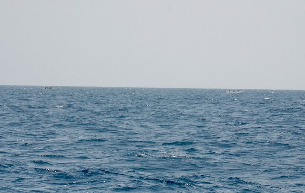
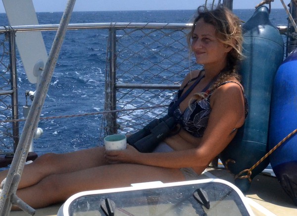
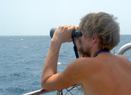
For 10 days, just before Soccotra, we have been intensifying our watches during the day. We tried to have always someone in the cockpit scanning the horizon for anything out of the norm. Just before entering Bab el Mandeb, I shouted for the first time „Christian, there is a skiff around.“ Actually, there were two of them, traveling southbound approximately half a mile away. The small, white, open boats are difficult to spot in the haze and between the white spray of the waves. Each boat was fully occupied and carried 5 men. We couldn’t see any fuel barrels, ladders or fishing nets and therefore couldn’t tell what they were up to. It was strange to see, two little boats in the shipping lane heading for the freighter traveling behind us. We continued watching them, but lost them when they were no more than a mile away, even using binoculars. From the distance it was quite difficult to tell who are the good and who are the bad guys. But we would rather bet on the good side, at least they didn’t approached us or any of the freighters behind us.
With dusk contrary winds have been rising. By then we already passed the narrowest part of Bab el Mandeb. Winds were blowing stronger as forecasted and for the first half of the night straight on Moyas nose. As we wanted to continue going north within the shipping lane, we had no other option as to motor against winds and waves. It wasn’t nice, at all. But before dawn we were sailing again, hard on the wind in Eritreas waters.